GPS : 37°00'00.5"N 28°14'03.6"E / 37.000124, 28.234324

PHOTOGRAPHS ALBUM
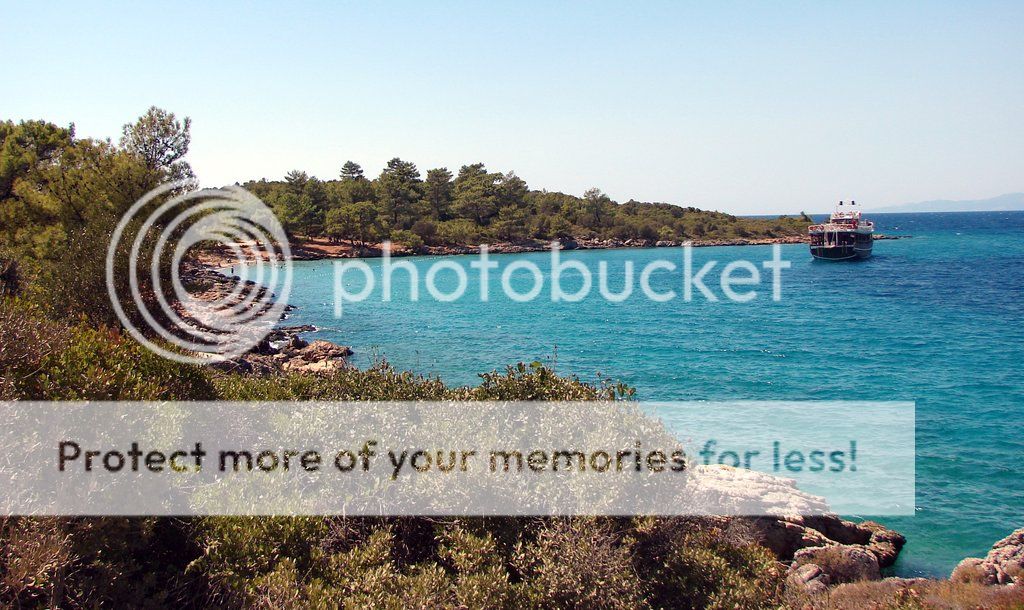
Çamlı lies on the southern part of Çapa Burnu and Çamlı (Gelibolu) Island. the bay is open to westerlies. The western side affords relative sheltering from breeze with a line ashore. There are considerable depths about 36 meters off the shore. The Çamlık bay. It is an area abundant with pine trees. it is a stopping point for boats going to sedir island. there is a buffet, an open cafe in the bay’s square and a restaurant among the trees.
A wooden pier extends from the western tip. Berthing capacity is 30 boats. There are 2 m depths at the head and tripper boats to Sedir Island and Gökova bays leave from this pier.
Water and electricity are available.
Ice and butane gas bottles can be found.
Fuel can be purchased from truck tanker.
There is a cafe and a market in the vicinity.
Ferry services to Bodrum in summer leave from this pier. This pier is crowded in summer by tripper boats and they constantly churn in and out. Boats go stern- to the pier and drop anchor for short term stay for getting provisions. The bottom is muddy. Boats can anchor off the pier on the west. The depths are 10 - 12 meters.
WEATHER FORECASTS
Mgm Weather Forecast
World Weather Forecast
Accu Weather Forecast
Wunderground Weather Forecast
Weather Forecast
Yahoo Weather Forecast
Weather Channel Forecast
Foreca Weather Forecast
Msn Weather Forecast
Holiday Weather Forecast
Bbc Weather Forecast
LOCATION SATELLITE MAP
These scripts and photographs are registered under © Copyright 2016, respected writers and photographers from the internet. All Rights Reserved.
No comments:
Post a Comment